

Latest Weather Blog
Thursday AM Forecast: Warmer, more humid pattern begins today, Rain returns on Easter
Warmer temps are rolling in through Friday, with highs possibly hitting 90°F. Easter weekend brings a mix of clouds, breezy conditions, and increasing rain chances, which continue into early next week.
Today & Tonight: Expect a warm and mostly sunny Thursday with a high around 86°F. Light southerly breezes will begin to pick up, signaling a more humid pattern moving in. Tonight stays mild with lows near 66°F, and skies remaining partly cloudy.
Easter Weekend: Friday looks similar to today but a bit hotter with a high near 89°F and breezier conditions. Saturday stays warm at 87°F, despite mainly overcast skies as moisture builds. Easter Sunday brings an isolated chance (40% coverage) of showers and thunderstorms, mainly in the afternoon and evening, with highs in the mid-80s. It’ll still be breezy. Your morning egg hunts should be okay—just keep an umbrella handy for later on.
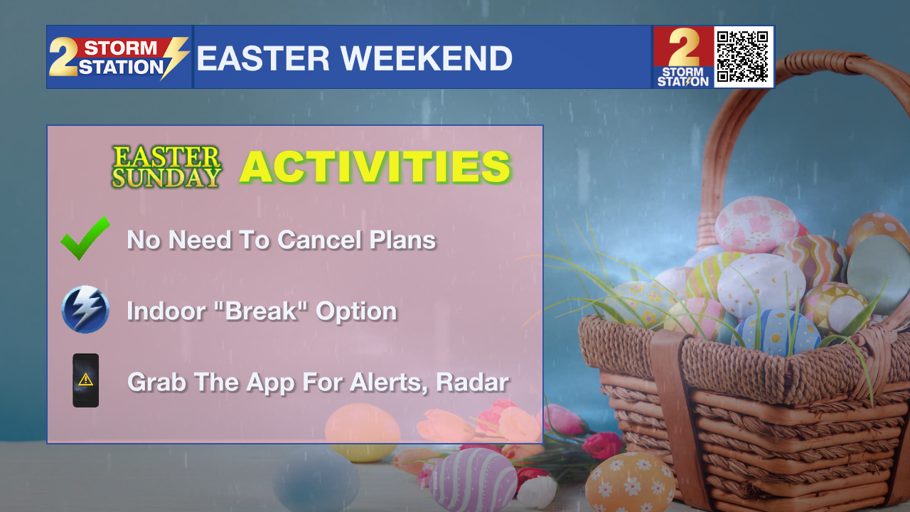
Up Next: Daily rain chances and the warm and muggy conditions will continue next week. The frontal boundary that brings showers on Easter will stall out over the area for most of next week. This front will help trigger the daily rain storms. No day looks to be a complete washout but passing storms could interrupt any outdoor activities. Make sure to check in with the Storm Station over the weekend as we monitor the threat for stronger weather next week. Daily highs stay in the mid-80s and lows hover in the mid-to-upper 60s.

Trending News
River Flooding: The National Weather Service has issued a RIVER FLOOD WARNING for the Mississippi River at Red River Landing and Baton Rouge until further notice. In addition, a RIVER FLOOD WARNING will go into effect on Monday, April 21 for the Atchafalaya River at Morgan City.
• At Red River Landing, flood stage is at 48 feet. Minor flooding is already occurring. Moderate flooding is expected with a crest near 57 feet. Around these levels, Angola farmland on the left bank begins taking on water. Caution is urged when walking near riverbanks. The river will crest by April 25, then fall below flood stage by May 4.
• At Baton Rouge, flood stage is 35 feet. Minor flooding has already begun. Major flood stage will be reached on April 25 with a height of 40.5 feet. Levels will fall below flood stage around May 3. Around these levels, the grounds of the older part of Louisiana State University's campus become soggy. This includes the area around the Veterinary Medicine building, the Veterinary Medicine Annex, and Alex Box Stadium. Levees protect the city of Baton Rouge and the main LSU campus at this level. Caution is urged when walking near riverbanks.
• At Morgan City, flood stage of 6 feet may be reached on Monday. Moderate flooding with a crest of 7.5 feet is forecast by April 27. At 7 feet, buildings at the foot of Ann Street on the river side of the flood wall will flood as water overtops the Rio Oil Company dock. Buildings on the river side of the Berwick floodwall will flood. River traffic restrictions will be strictly enforced. In addition, backwater flooding could potentially impact portions of areas around Lake Palourde and Stephensville.
The National Weather Service has issued a RIVER FLOOD WATCH for the Atchafalaya River at Simmesport and Butte La Rose until further notice.
• At Simmesport, flood stage of 40 feet may be reached by April 26. There will be flooding of areas inside the levees of the Atchafalaya Floodway and considerable flooding in the backwater storage area in Avoyelles Parish.
• At Butte La Rose, flood stage of 20 feet may be reached by April 27. Minor flooding of the nearby areas could occur.
Get the latest 7-day forecast and real-time weather updates HERE.
Watch live news HERE.
– Emma Kate C.
The Storm Station is here for you, on every platform. Your weather updates can be found on News 2, wbrz.com, and the WBRZ WX App on your Apple or Android device. Follow WBRZ Weather on Facebook and X for even more weather updates while you are on the go.
More News
