

Latest Weather Blog
Tuesday PM Forecast: warming trend underway, continues through weekend
A warming trend will send temperatures well above average starting Wednesday. The rest of the workweek will have mainly clear skies and mild afternoons.
Rest of the Week: dry, warming above average
Weekend: unseasonably warm
Next Week: turning unsettled
Tonight & Tomorrow: Though still chilly, tonight will not be nearly as chilly as the previous two nights, with lows remaining in the 40s beneath clear skies. A substantial warmup will be felt on Wednesday as mostly sunny skies drive highs into the mid-70s.
Up Next: Thursday and Friday, you will just want a light layer for the mornings, but make sure you can stash it by afternoon. Expect lows in the mid-50s and highs in the upper 70s with mainly clear skies. Note that the mornings could be a little tricky, especially for those commuting in inland areas or river basins. With light southerly winds starting to pull in a bit more moisture, we have the potential for some patchy fog to develop near dawn. This is the kind of fog that forms when the ground cools rapidly overnight. While not widespread, be prepared for reduced visibility in spots and allow for a little extra time. Once the sun rises, the fog should quickly disperse.
Trending News
.png)
Outdoor plans look to be safe over the weekend, including LSU and Southern football playing here at home in Baton Rouge. A warm and dry air mass will continue to control the weather on Saturday, leading to mostly sunny skies and highs near 80°. A bit of added moisture is expected on Sunday, making for a borderline muggy morning with lows closer to 60°. Additionally, that moisture could help to produce a spotty shower, but widespread, organized activity looks unlikely without anything in the region to trigger it.
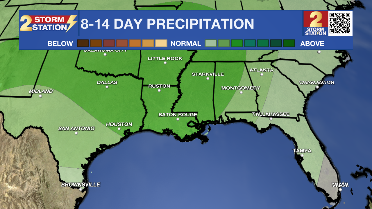
The weather pattern looks to turn a bit more unsettled next week. Moisture will remain above average for the time of year, while a couple of storm systems will traverse the region. These could lead to a couple of rounds of showers, though it is a little early to time them out specifically. One way or the other, no fronts are expected to pass, meaning above-average temperatures will continue for the time being.
The Tropics: For the Gulf, Caribbean, and Atlantic, all is quiet. No new tropical development is expected over the next seven days.
Get the latest 7-day forecast and real-time weather updates HERE.
Watch live news HERE.
– Josh
The Storm Station is here for you, on every platform. Your weather updates can be found on News 2, wbrz.com, and the WBRZ WX App on your Apple or Android device. Follow WBRZ Weather on Facebook and X for even more weather updates while you are on the go.
More News
