

Latest Weather Blog
Wednesday AM Forecast: Storms possible every afternoon through this weekend
Tropical moisture will remain high all the way through this big football weekend. This will cause daily showers and storms, primarily in the afternoon and evening.
Tonight & Tomorrow: Wednesday's weather pattern is copy-pasting what we've seen lately. Expect temperatures to surge quickly after sunrise, climbing into the lower to mid-90s by the afternoon. High humidity will make it feel much hotter, driving heat index values into the 100°F to 108°F range. Peak heat will trigger scattered afternoon showers and storms, with about half of the area likely to see rain. Activity tapers off after sunset, leaving us with a warm night and lows around 74°.
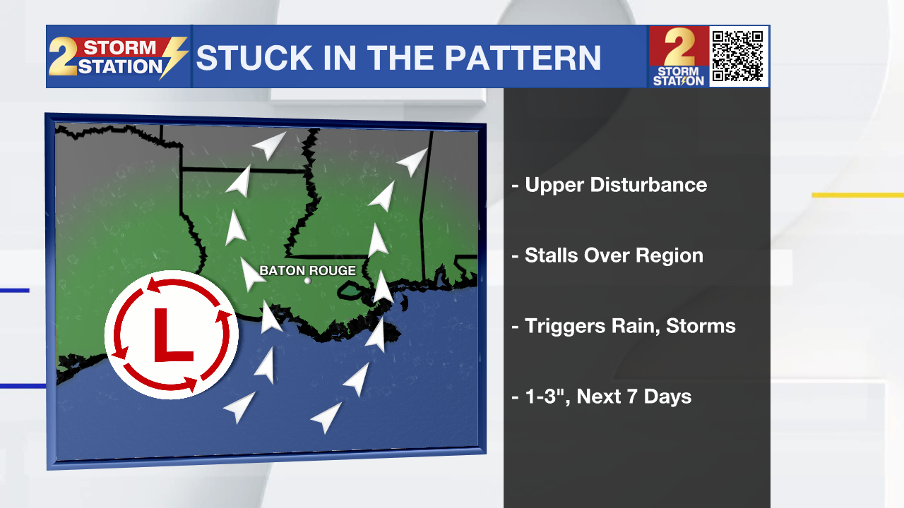
Up Next: A lingering front positioning itself just north of the I-10/12 corridor will divide drier air to our north from muggy air over southern Louisiana later this week. Don't look for a true fall cold front out of this, but it will serve as the focal point for numerous storms across the Capital Region. Expect elevated chances for heavy downpours and typical street flooding on both Thursday and Friday. Early-day cloud cover and afternoon rain will keep high temperatures slightly lower, topping out in the upper 80s to around 90°.
Trending News
.png)
Football Forecasts: You can keep your high school and college football plans on the calendar, but stay weather-aware. Friday night under the lights through Sunday won't be a total washout, but passing storms could bring lightning delays and send fans heading for cover temporarily.
Get the latest 7-day forecast and real-time weather updates HERE.
Watch live news HERE.
The Tropics: Right at the historical peak of hurricane season, the Atlantic basin remains remarkably calm.
– Balin
The Storm Station is here for you, on every platform. Your weather updates can be found on News 2, wbrz.com, and the WBRZ WX App on your Apple or Android device. Follow WBRZ Weather on Facebook and X for even more weather updates while you are on the go.
More News

