

Latest Weather Blog
Saturday AM forecast: Dangerous Heat Building; Prolonged Hot and Dry Stretch
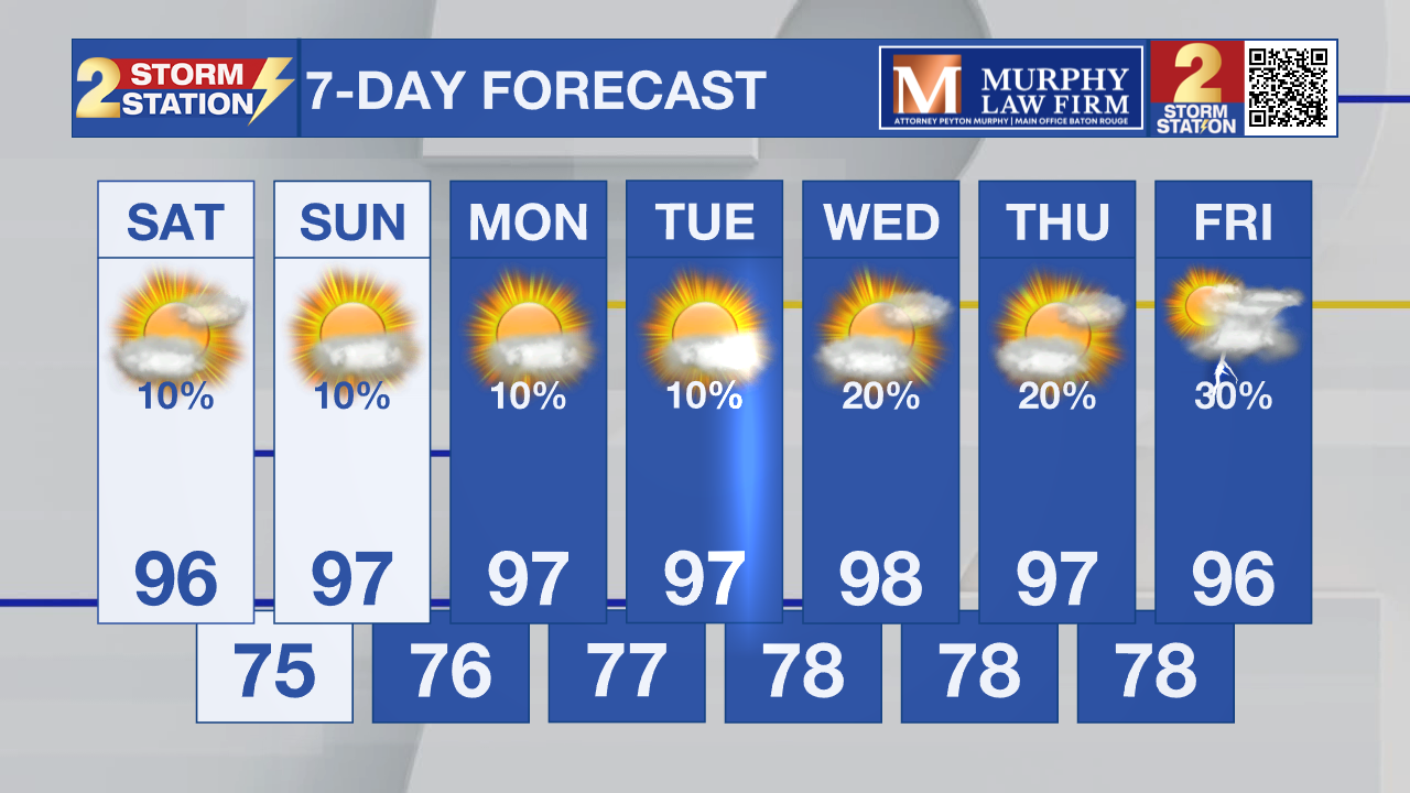
Dangerous heat is returning to south Louisiana as a prolonged stretch of hot, dry weather settles over the region. Heat index values are expected to climb to near 108 degrees today and Sunday before reaching 110 to 115 degrees early next week.

Today and Tonight: Expect another mostly sunny and hot day with afternoon highs in the middle 90s. Only a stray afternoon shower is possible, but nearly everyone will stay dry. Tonight remains warm and muggy with lows in the upper 70s under partly cloudy skies.

Use the slider to advance through the next 24 hours of Futurecast
Up Next: The heat continues to build through the weekend as high pressure strengthens over the Gulf Coast. Afternoon temperatures will climb into the upper 90s by Sunday while humidity pushes heat index values above 108 degrees, making Heat Advisories likely. The hottest weather arrives Monday through Wednesday, when highs near 100 degrees and heat index values of 110 to 115 degrees could create dangerous conditions. Rain chances remain very limited, meaning little relief from the heat until at least late next week.
Trending News
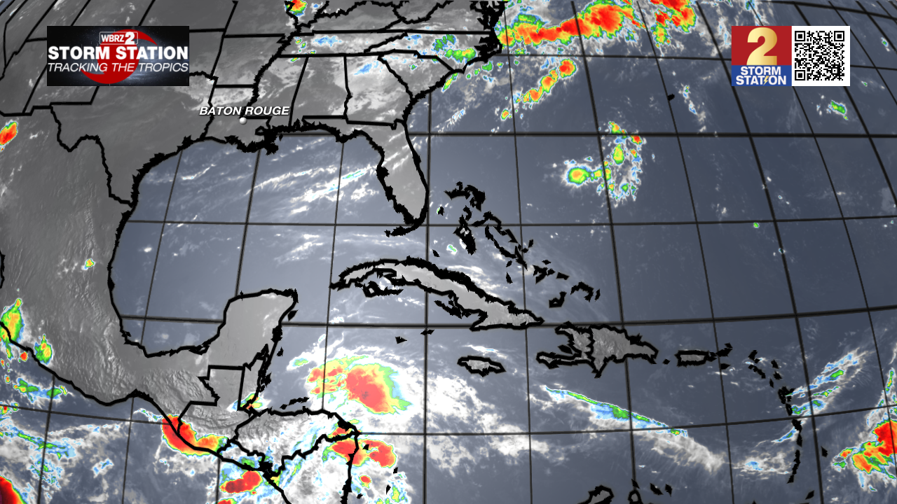
Tropics: According to the National Hurricane Center, no tropical cyclone development is expected anywhere across the Atlantic, Caribbean, or Gulf over the next seven days. After a busy stretch earlier this week, tropical concerns are taking a break as we head into the weekend.
Get the latest 7-day forecast and real-time weather updates HERE.
Watch live news HERE.
– Dave
The Storm Station is here for you, on every platform. Your weather updates can be found on News 2, wbrz.com, and the WBRZ WX App on your Apple or Android device. Follow WBRZ Weather on Facebook and X for even more weather updates while you are on the go.
More News

